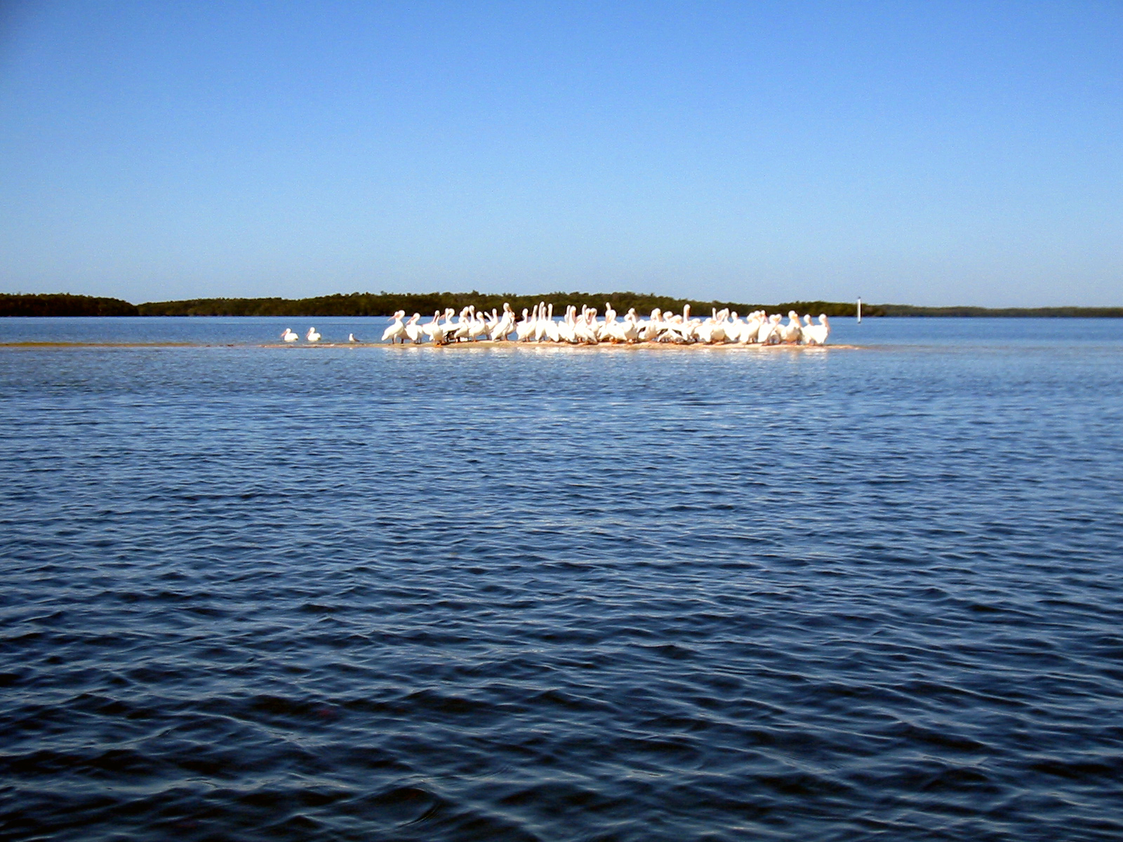
Everglades Trip 2004 (Wilderness Waterway)
Draft, Converting Older Site
Richard Rathe, January 2004 (Camping)
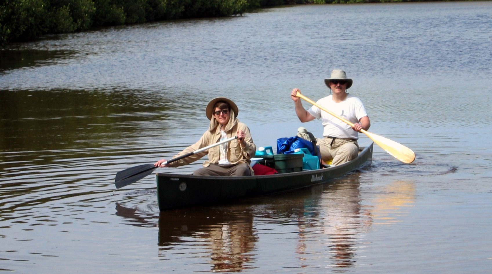
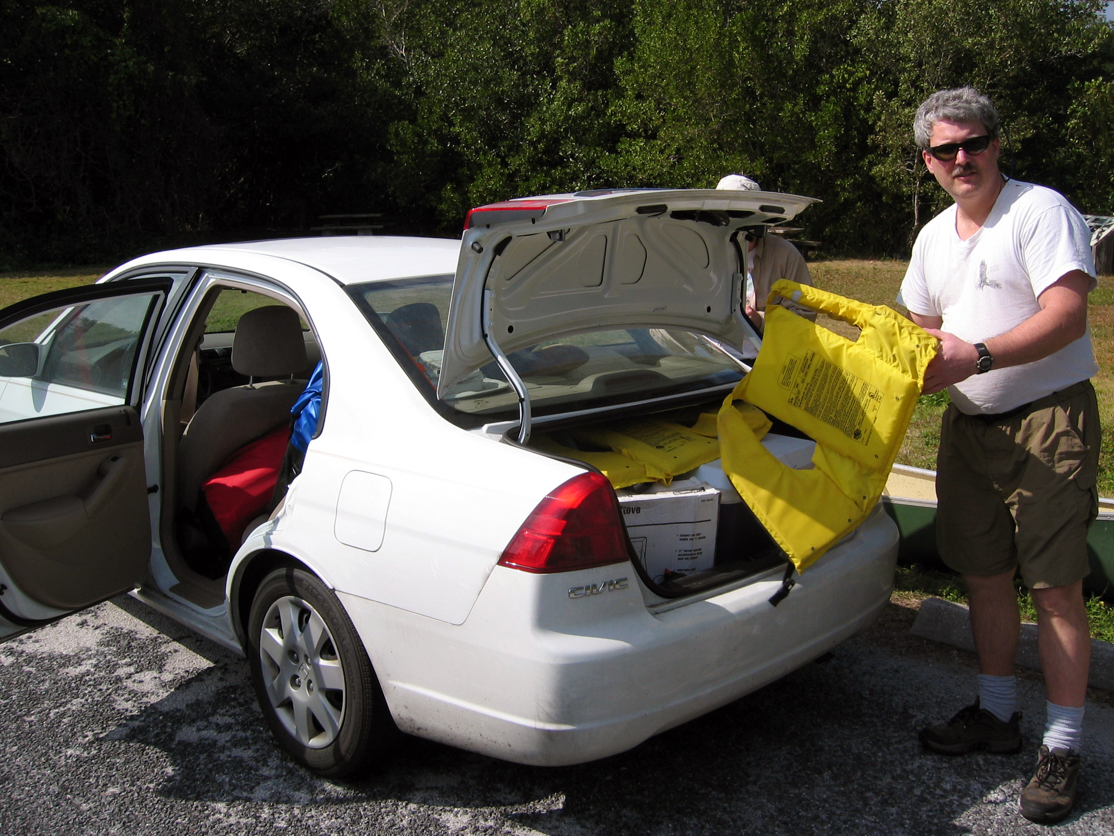
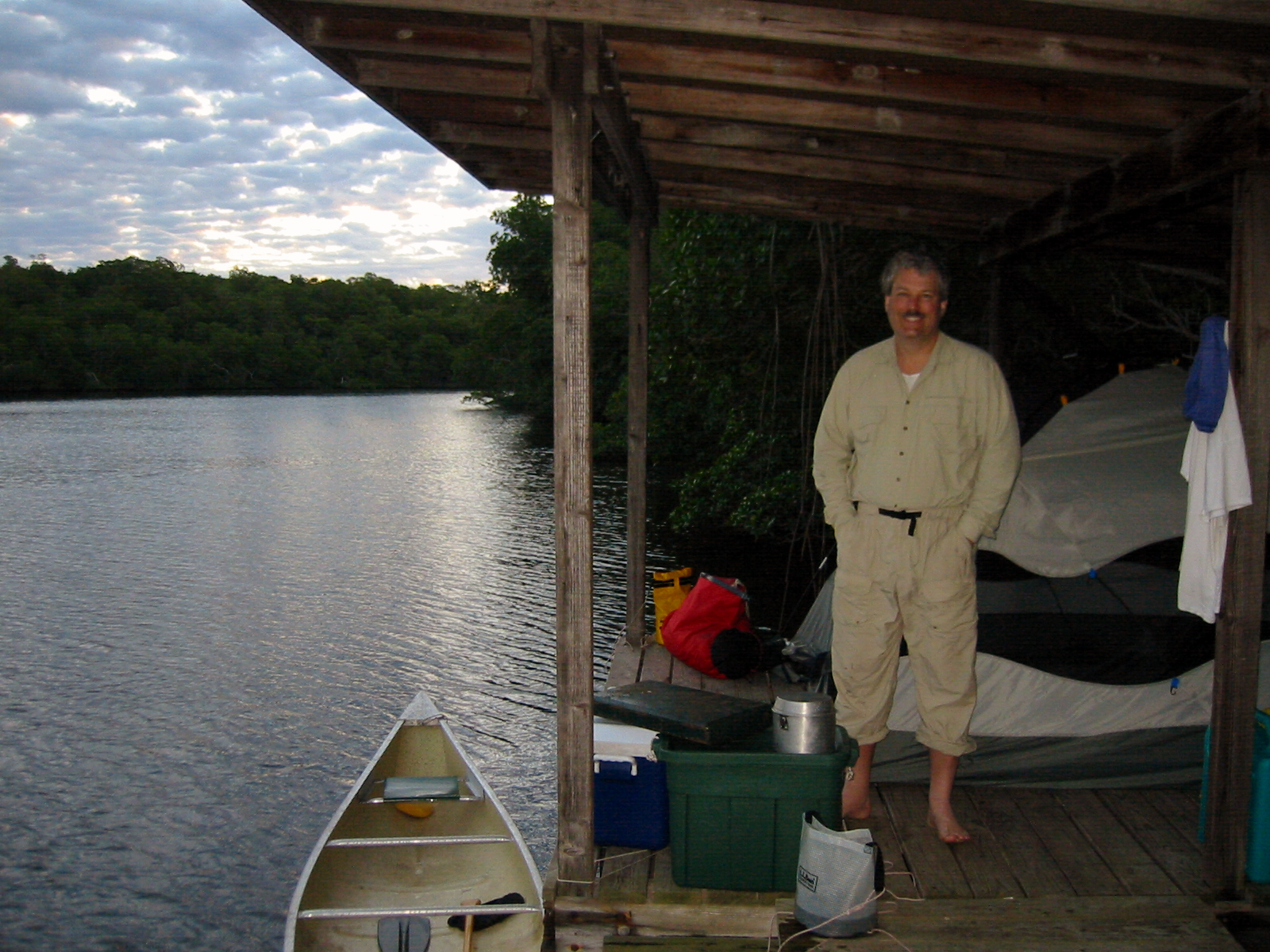
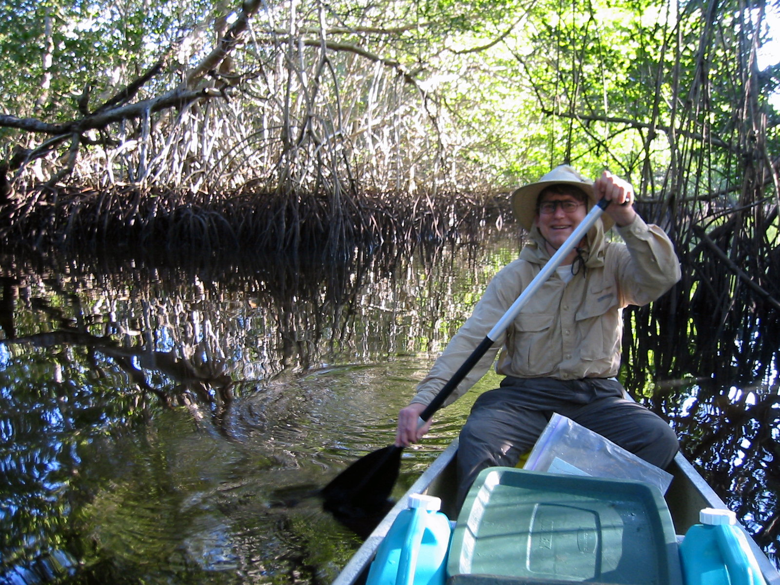
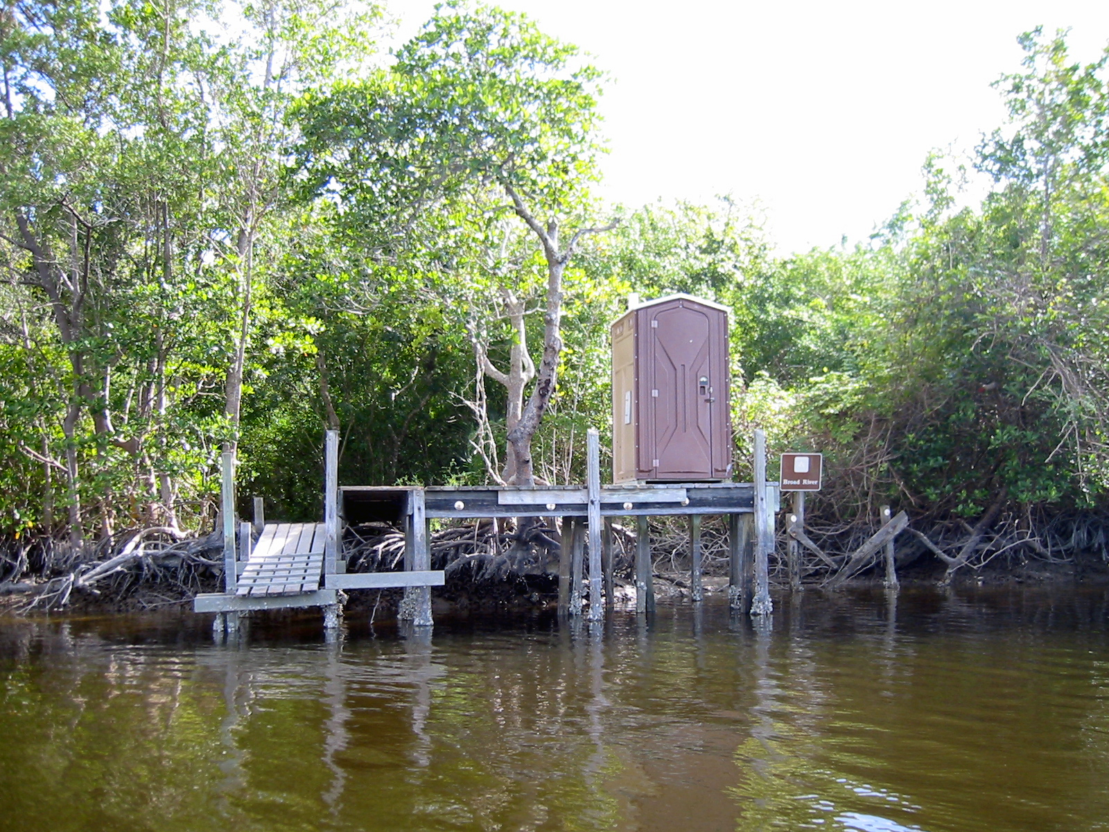
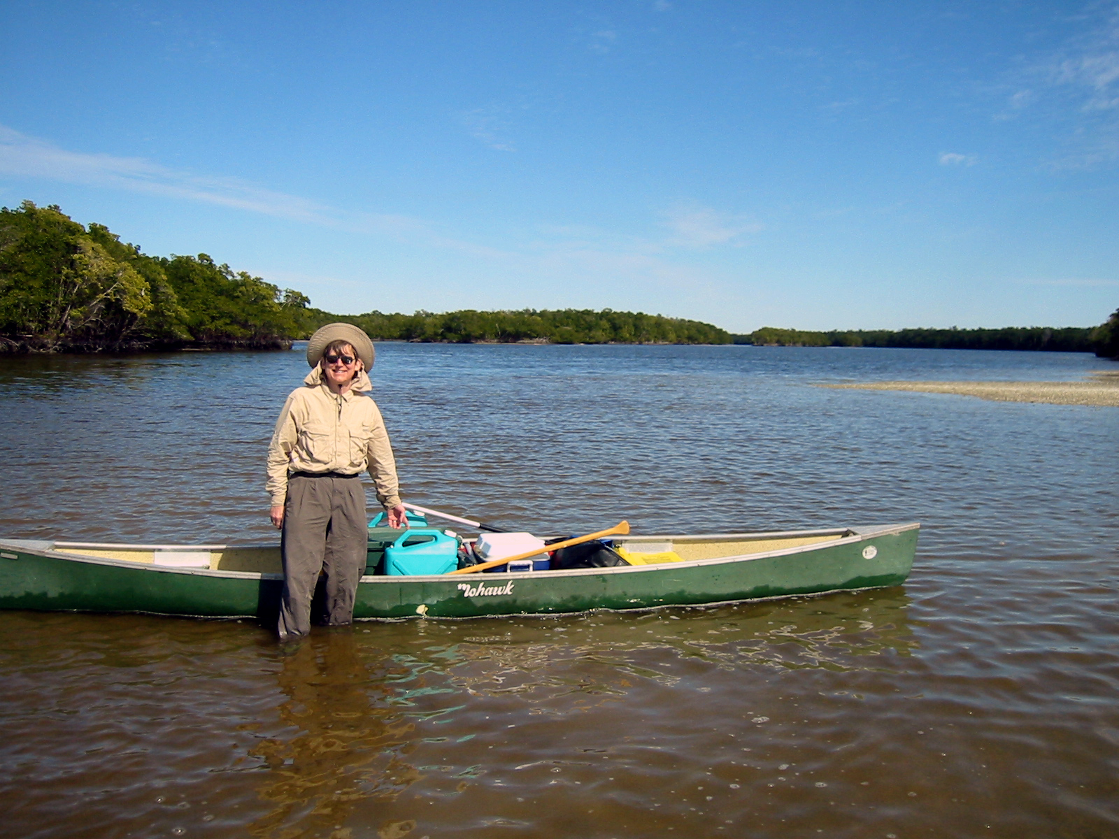
This is the classic trip described online and in all the books—The Complete Wilderness Waterway (nominally 99 miles). It is a powerboat trail first (deep water with markers along the route), and a canoe trail second. We deviated from the powerboat trail in many places. I estimate we traveled more than 120 miles total. We cached my car at Everglades City and my Father provided the shuttle service down to Flamingo.
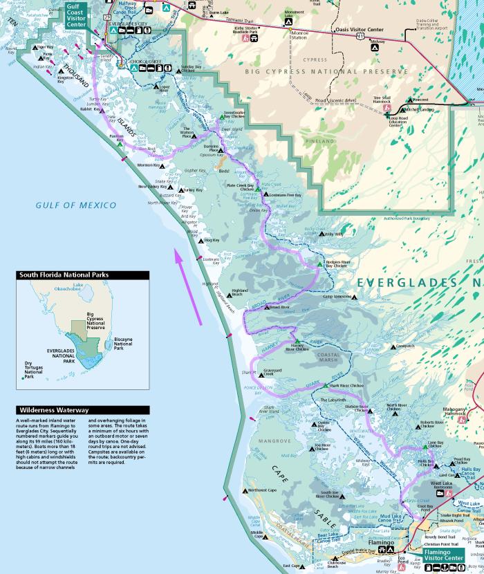
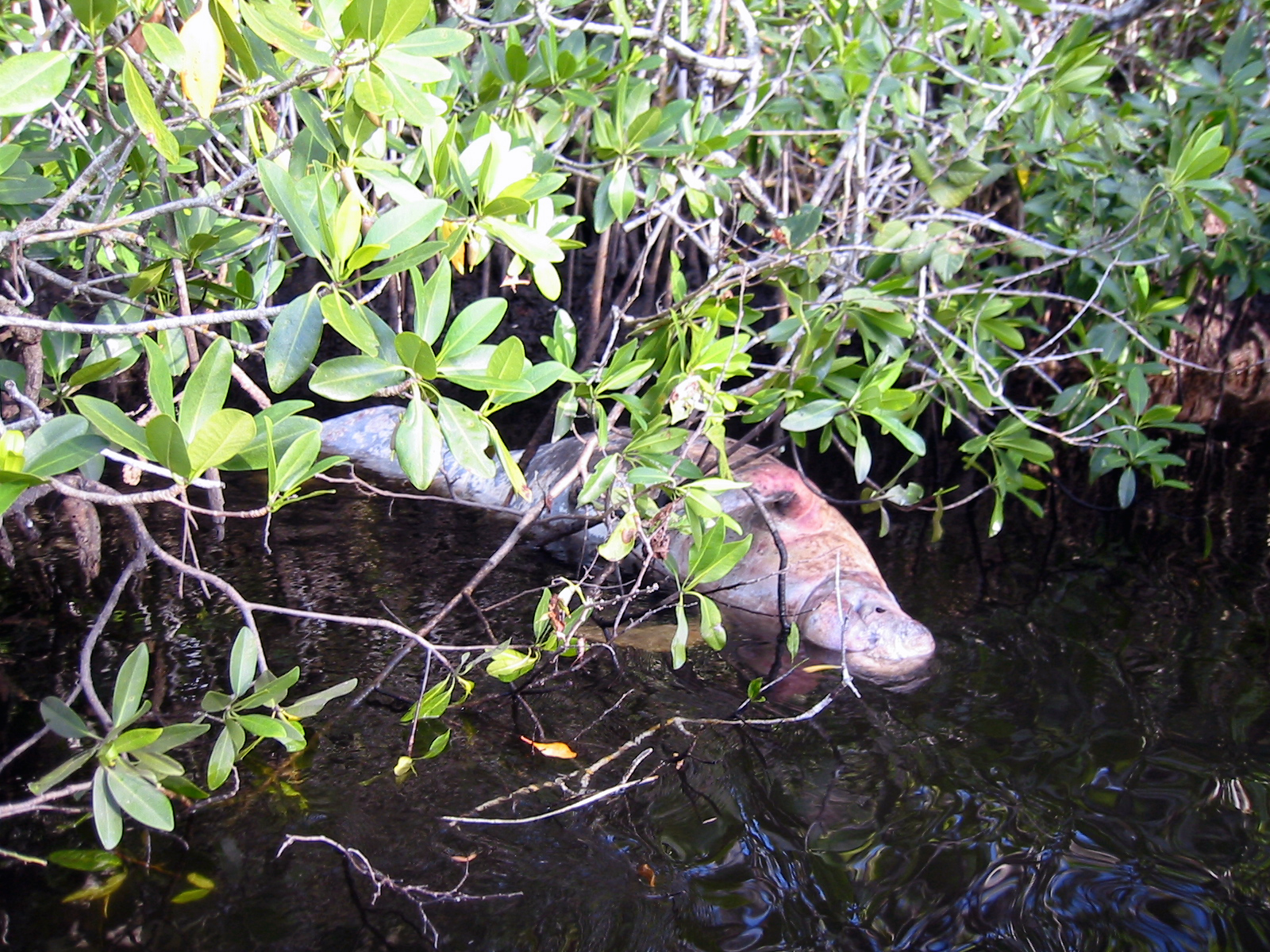
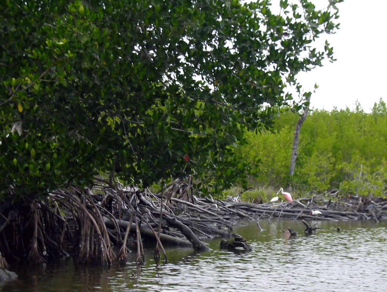
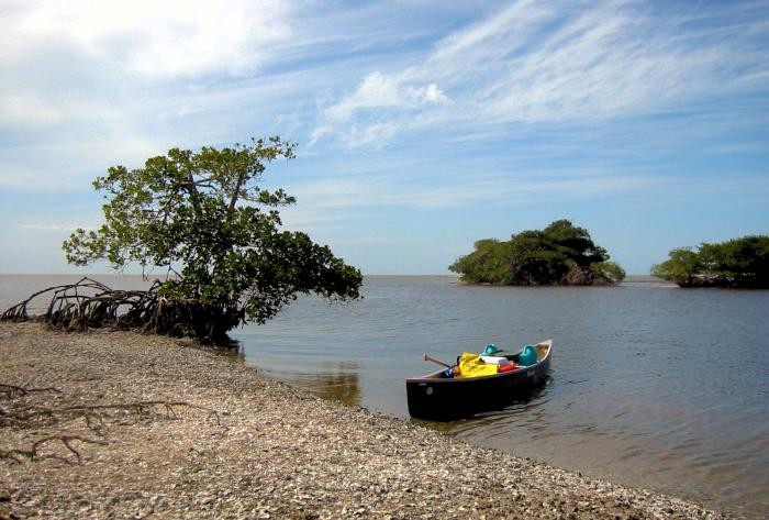
This was a real paddler’s trip. We went out to the Gulf of Mexico twice and “boomeranged” back up both the Harney River and Broad River. with the tide. We also took a side trip down to Gopher Key and saw lots of birds there, including a Roseate Spoonbill. We saw dolphins fishing in the shallows. We also encountered manatees twice. The last night we returned to the Gulf and camped on Pavilion Key.
See my Everglades Wilderness Guide for more trips, maps, & photographs.
(click any image to view or advance)